' Alaska Roads - Whittier access road photos
Whittier access road photos

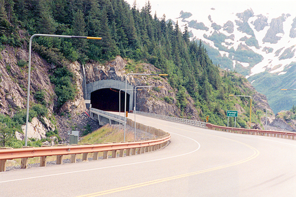
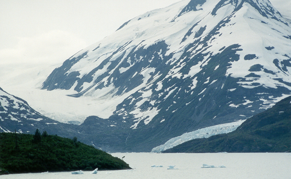
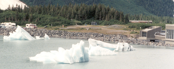
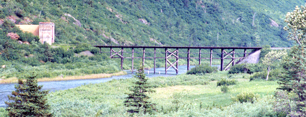
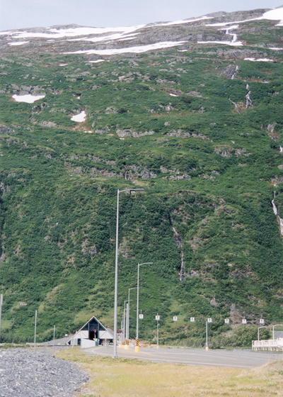
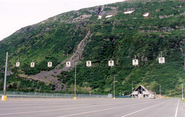
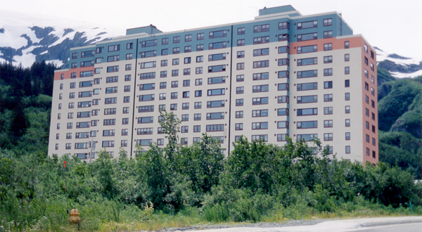
These eleven photos, from my summer 2001 vacation, cover the toll tunnel and access road connecting the Seward Highway (part of Alaska state route 1), at the east end of Turnagain Arm, to the port of Whittier at the west end of Prince William Sound. This unnumbered state-maintained highway, about 11 miles long, was completed in 2000 (the westernmost five miles were built much earlier, to provide access to Portage Lake). It is most famous for the Anton Anderson Memorial Tunnel, originally constructed as a one-track rail tunnel during World War II. The new highway project included conversion of that tunnel to a combined auto/rail tunnel, with carefully-controlled alternating phases for eastbound cars and trucks, westbound cars and trucks, and trains (on a pair of rails embedded in the new roadway). The tunnel is now the longest auto tunnel in North America, 2.5 miles long. Also part of the new highway is a short two-lane tunnel under Begich Peak, at mile 5.3 (from the Seward Highway), west of the toll booths for the Anton Anderson tunnel. Before the new highway was completed, travelers wishing to take their cars to Whittier from Anchorage or the Kenai Peninsula had to use an Alaska Railroad shuttle train to take them and their cars between Whittier and the Seward Highway.

Whittier itself is pretty industrial-grade, and tourists go there mainly to catch one of the Alaska Marine Highway ferries serving Prince William Sound (Whittier is the AMH port closest to Anchorage), or a cruise around the sound. But the Anton Anderson tunnel and the access road are treats in their own right.

See the tunnel's official website for more details such as tolls (starting at $12, charged eastbound only), the time slots when the tunnel will be open to traffic headed your way, and also lots more photos (including some I couldn't take, such as construction photos and others taken inside the tunnel).

NOTE: In case you want more detail, you can click any photo below to view an enlarged, higher-quality (less .jpg compression) version. Those alternate versions have larger file sizes, so please be patient while they download.


Two-lane highway tunnel under Begich Peak, west portal, with snowplow guides on the approach road Two-lane highway tunnel under Begich Peak, east portal
The west and east portals, respectively, of the two-lane tunnel carrying the access road under Begich Peak. Unlike the Anton Anderson tunnel shown below, this tunnel was built along with the new access road. Both sides of the road are lined with tall snowplow guides.
 
Portage Lake, and the two glaciers to its east and south Icebergs floating across Portage Lake toward the visitor center
The turnoff at mile 6.4, between the Begich Peak and Anton Anderson tunnels, offers great views of the receding Portage Glacier, and the smaller Byron Glacier flowing into Portage Lake (left), as well as some icebergs from Byron Glacier floating across the lake toward the Portage visitor center (right).
 
Railroad bridge across Bear Valley, and east portal of railroad tunnel under Begich Peak
 
On the other side of the road from the lakeview turnoff, the Alaska Railroad track emerges from its own tunnel under Begich Peak to cross over Bear Valley.
 
Overview of west portal of Anton Anderson tunnel Closeup of west portal, showing train track into tunnel, and motor traffic lane merging with track from the right
An overview of the west portal of the Anton Anderson tunnel, at mile 7.1, and the mountain through which it was bored.
 
A closer view, showing the train track heading into the tunnel, and the motor traffic lane merging with it from the south.
 

The staging area for the tunnel's west portal, where vehicles wait for the tunnel to open in their direction after they've paid the toll (collected eastbound only). Vehicles are sorted into different lanes, with slower vehicles such as trucks directed to bring up the rear after faster vehicles enter the tunnel first.
 
Eight lanes for eastbound tunnel traffic to wait for the next tunnel opening
 
East tunnel portal, as train emerges from the tunnel toward the Whittier docks
 
The east portal, at mile 9.6, as an Alaska Railroad passenger train on its way to the Whittier docks emerges from the tunnel. The docks include not only ferry and cruise ship terminals, but also freight loading and unloading facilities. Whittier has the ice-free deep-draft harbor closest to Anchorage.
 
Bruckner Building in Whittier, unoccupied and in need of some rehab work Begich Tower, a spiffy 14-story condo for most of Whittier's inhabitants
One unusual feature of living in Whittier is that most residents live in a large condominium apartment building (perhaps a carryover from Whittier's past as a military base, where all the housing was barracks). The building shown above left is the old Buckner apartment building, once described as a "city under one roof" but no longer in use. The one above right is the Begich Tower, which now houses most of Whittier's residents.

Alaska Roads main page (still under construction as of October 2007, but has some useful information and links)

Questions, comments? Please e-mail me.

© Oscar Voss 2001, 2004, 2006-2007.