Newfoundland/Maritimes
road trip photos -
Page 2 of 3
by Oscar Voss
This photo collection, from my August 2003 road trip to Newfoundland and the other Maritime Provinces of Canada, is divided into three pages. Page
1 covers road signs and pavement markings. The photos below cover other sights along Newfoundland highways, plus licence plates. Page 3 covers the other Maritime Provinces as well as a little bit of northern Maine.
NOTE: In case you want more detail, clicking most of the photos below will call up enlarged, higher-quality
(less .jpg compression) versions. Those alternate versions have larger
file sizes, so please be patient while they download.
|

Page 1: Newfoundland road signs
and pavement markings |
|
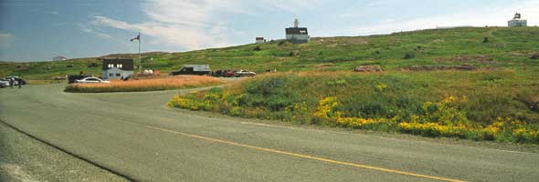 |
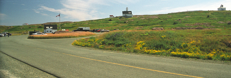
 The End Of
The Line (East) -- where better to start these photos, than at the easternmost
road to the easternmost point in North America, Cape Spear Drive (unnumbered
spur from provincial route 11) to Cape Spear National Historic Site? Above
the parking lot to the left are the old lighthouse to the far right, and
the visitor centre in front of the new lighthouse near the middle of this photograph. The End Of
The Line (East) -- where better to start these photos, than at the easternmost
road to the easternmost point in North America, Cape Spear Drive (unnumbered
spur from provincial route 11) to Cape Spear National Historic Site? Above
the parking lot to the left are the old lighthouse to the far right, and
the visitor centre in front of the new lighthouse near the middle of this photograph.
|
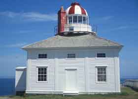
 The old Cape Spear
lighthouse. The old Cape Spear
lighthouse. |
|
|
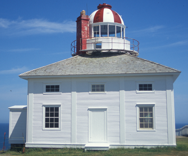
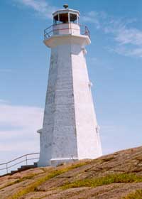
 The new lighthouse. The new lighthouse. |
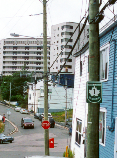
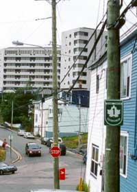
Until a few years ago,
the east end of the Trans-Canada Highway was somewhere in the Signal Hill
neighbourhood east of downtown St. John's. This photo of a stray old TCH
marker was taken at the intersection of Signal Hill Road, Quidi Vidi Road,
and Empire Avenue. |
|
 |
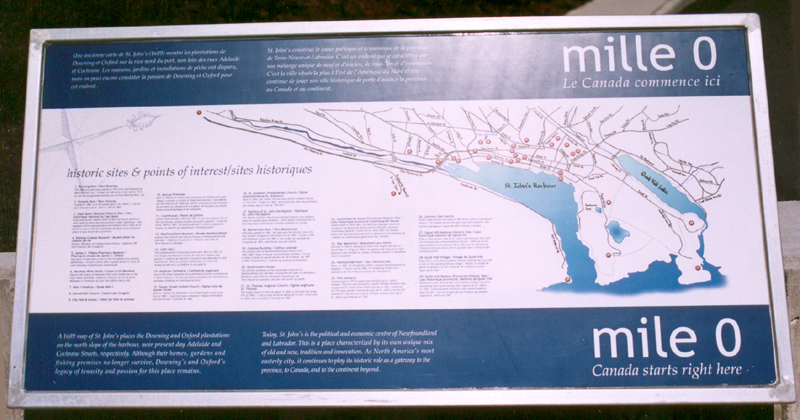
This display
in front of City Hall in downtown St. John's marks the symbolic beginning
of the Trans-Canada Highway, though as indicated above the actual east
end was east of downtown.
|
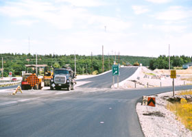 |
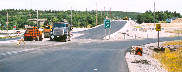
The east end of the TCH was recently relocated to the new Outer Ring Highway
freeway bypassing St. John's to the north. The most recent extension, as
of my visit in August 2004, apparently took the TCH to the exit 50 interchange
with provincial route 30 (I say "apparently" because the divided highway,
and TCH signage, ended at exit 49). Finishing touches, such as pavement
markings, were still being applied when I was there.
The road will be extended further east beyond this interchange, then
curl back southwest to connect to an existing road ending in the Quidi
Vidi neighbourhood east of Signal Hill. However, both that road and the
connecting road under construction apparently will be two-lane undivided
with at-grade intersections, and my guess is that they won't be part of
the TCH.
|
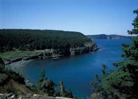
The Middle Cove of
Tor Bay, north of St. John's, is pretty gorgeous from this viewpoint along
the south side of the bay on Marine Drive, but is downright jaw-dropping
when you see it as you top the hill on northbound Outer Cove Road. |
|
 |
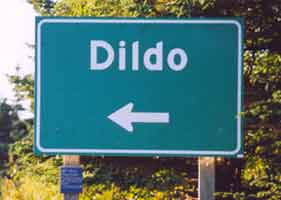 |
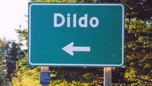
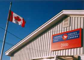
| Yes,
really. The shopkeepers in this out-of-the-way little fishing village,
northwest of St. John's off the Baccalieu Trail (route 80) about 15 km
north of the TCH, patiently but vaguely explain that the place must
have been named for some Spanish island or some Basque sea captain, rather
than the "bedroom toy." (Lending some credence to that explanation is,
north of Gander in another part of the province, the Dildo Run waterway
branching from Virgin Arm.) But they certainly don't mind the additional
tourist traffic the offbeat name brings into the village.
By the way, you can catch the access road into the village only from
northbound route 80. Southbound travelers should continue to South Dildo
and turn around there.
|
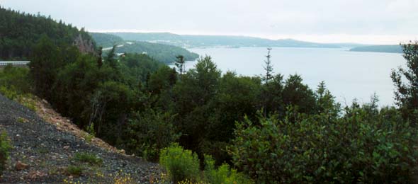 |
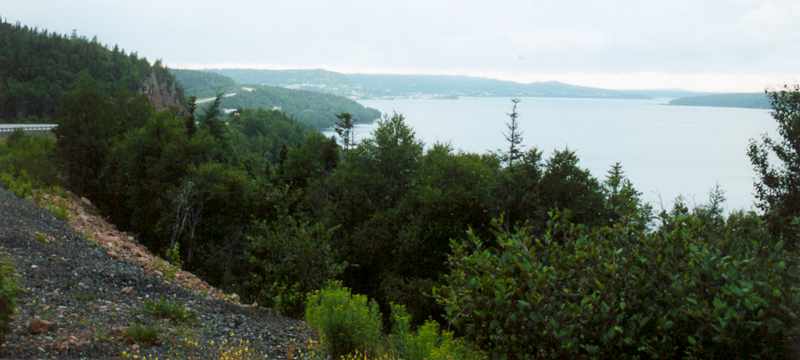
The
Northwest Arm of Trinity Bay, from a scenic view pullout on the TCH, northbound
about 2 km south of Clarenville.
|
|
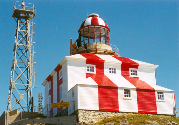
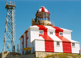
At the end of the Discovery Trail (route 230) northeast of Clarenville is the lighthouse at Cape Bonavista, where English explorers first found Newfoundland in 1497.
|
 |
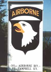 |
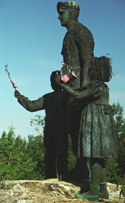
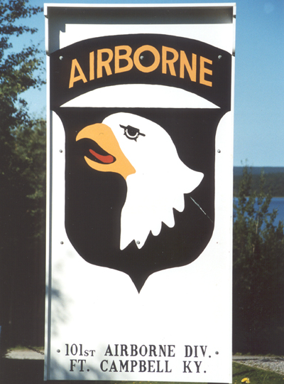
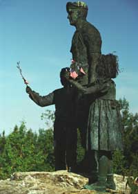
At the Silent
Witness memorial off the TCH just south of Gander, remembering those who
died in 1985 (including 248 soldiers of the 101st Airborne) when their
plane, returning from a Middle East peacekeeping mission, crashed soon
after takeoff from Gander International Airport.
|
 |
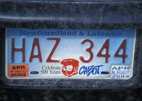 |
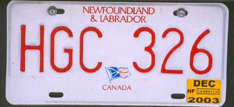
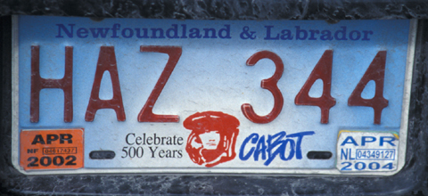
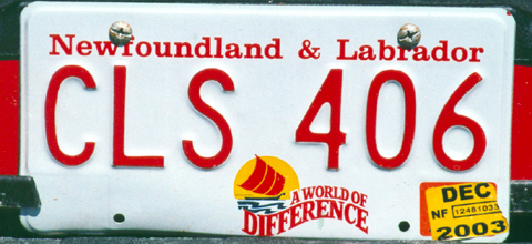
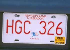
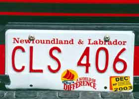
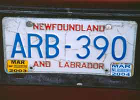
 Four kinds of licence plates I saw in Newfoundland.
 |
 |
 |
|

Page 3: other Maritimes/northern
Maine road photos
or return to Page 1: Newfoundland
road signs and pavement markings |
Alaska Roads main page (under construction as of October 2007, but has some useful information and links).
Questions, comments? Please e-mail me.
© Oscar Voss 2003-2004, 2007. Corrected version October 14, 2004. |